
Landmark guidance: landmark-based in-car navigation system for improved driving safety and spatial learning
17. March 2025
This project of the DSI Mobility Community aims to foster collaboration among the community members working on providing empirical-based guidelines to design in-car navigation systems that will enhance driving safety and support the mental spatial representation of space.
The Swiss Council of Accident Prevention (BFU) reports tens of thousands of driving-induced road traffic injuries (RTI) annually nationwide. According to BFU, driver distraction and inattentiveness are the leading causes of RTIs on Swiss roads, with the manual operation of a mobile phone while driving, i.e., tapping on it, looking at its display, as the second biggest contributor. Drivers’ distraction and inattention occur when visual, auditory, motor, and cognitive resources required for safe driving are diverted to other non-driving-related activities.
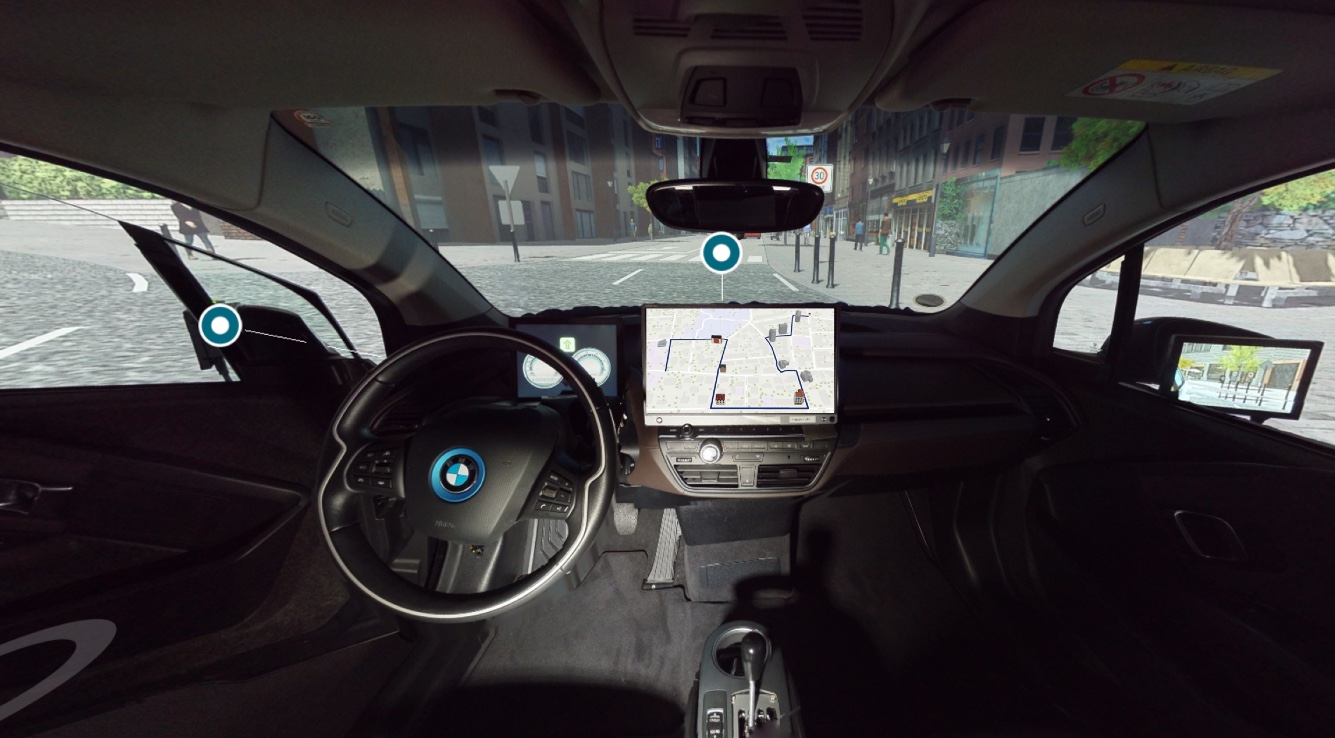
The in-car navigation systems (satnavs) have become ubiquitous tools in aiding humans’ everyday mobility activities, especially when driving in unfamiliar environments. Satnavs are a significant cause of driver distraction and inattention and have been shown to increase the risk of driving accidents by a factor of 2.5, a well-known phenomenon colloquially referred to as “death by GPS.”
Thus, this project aims to enhance the design of the current in-car navigation systems with landmark information for effective and efficient driving decision-making, which will lead to increased driving safety and spatial learning for reduced reliance on such tools. The project involves community members with extensive experience in spatial cognition research, geography, cartography, and driving safety.